
Mississippi, often celebrated for its rich Delta blues history and deep Southern charm, holds a lesser-known but equally compelling secret: it is an absolute haven for birdwatchers. Strategically positioned along the vital Mississippi Flyway, the state acts as a crucial rest stop, breeding ground, and wintering destination for hundreds of avian species, especially during the spectacular spring and fall migrations. The diversity of habitats—from coastal marshes along the Gulf to dense hardwood bottomlands and deep pine forests—provides a constantly changing stage for a remarkable variety of feathered performers.
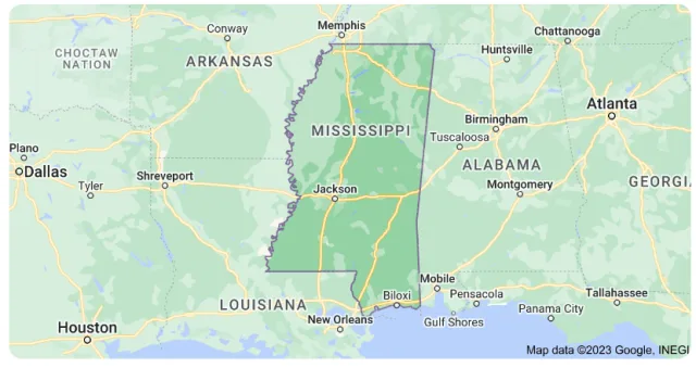
Whether you're a seasoned birder chasing rare warblers or a casual observer hoping to spot a majestic Bald Eagle, Mississippi's unique geography promises thrilling opportunities. Nowhere is this better exemplified than in two of the state’s premier birding locations: Yazoo National Wildlife Refuge (NWR), a sanctuary protecting crucial Delta bottomlands, and the pristine Ansley Preserve, a gem along the coast that offers glimpses of migrating and resident coastal species. Together, these sites frame the unparalleled bird-watching experience awaiting those who explore the Magnolia State.
Davis Bayou
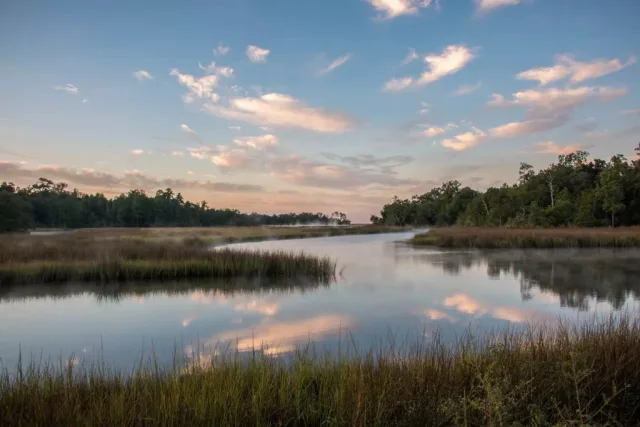
Davis Bayou, a key part of the Gulf Islands National Seashore in Ocean Springs, Mississippi, offers a unique blend of coastal and estuarine geography that creates exceptional bird-watching opportunities. Located just inland from the barrier islands, the area is characterized by a mix of maritime forests dominated by live oaks and pines, salt marshes, and the protected waters of the bayou itself.
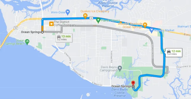
This transition zone is particularly rich in avian life, acting as a crucial stopover point for birds migrating across the Gulf of Mexico. The geography provides sheltered environments where migrants can rest and refuel, while the abundant marsh and estuarine life—including various fish and invertebrates—supports a diverse population of year-round resident species. The topography is relatively flat, making the trails easily accessible for birders seeking to explore the varied habitats.
Bird watching at Davis Bayou is excellent year-round, peaking during the spring and fall migrations. The primary birding opportunities involve observing Neotropical migrants such as various warblers, vireos, and tanagers as they make landfall or stage for their final leg of the journey. Resident and wintering species are plentiful, including numerous wading birds like the Great Egret and Great Blue Heron that fish the bayou margins.
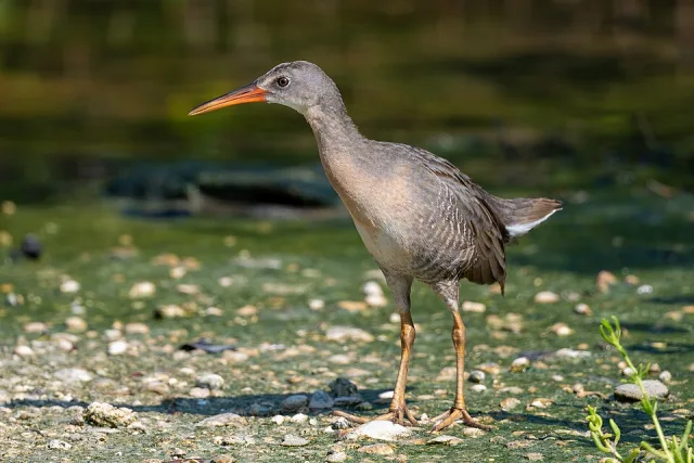
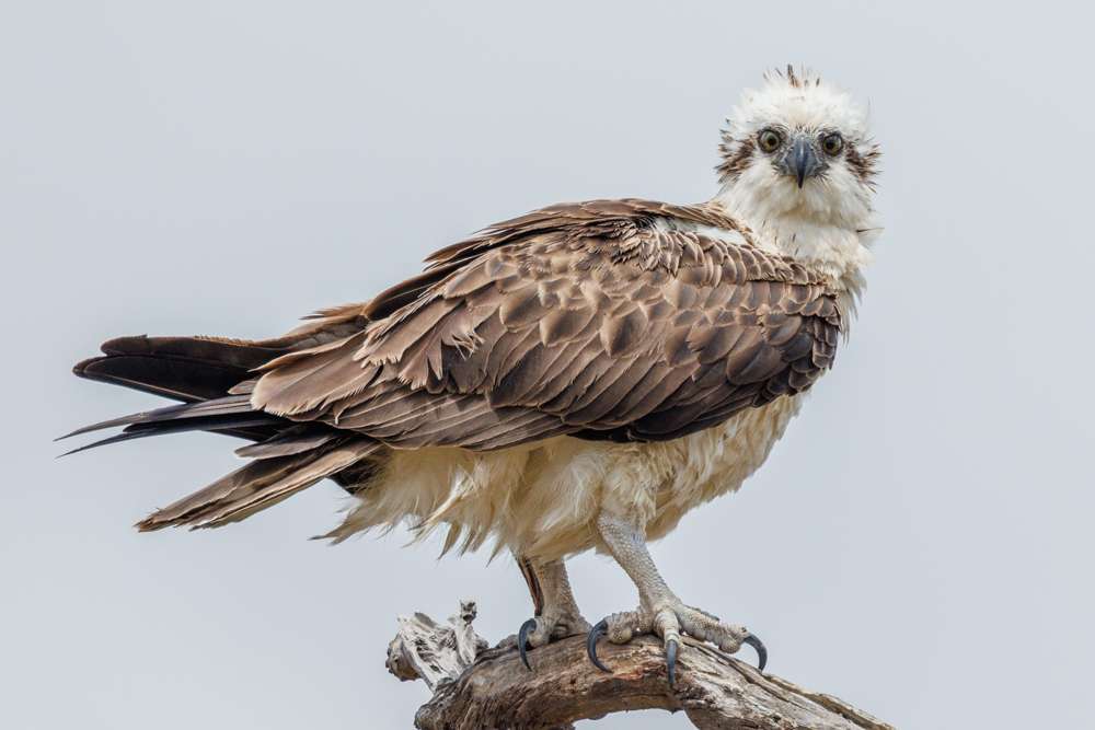
The salt marshes host secretive species like the Clapper Rail, while the open waters attract waterfowl and diving birds like Osprey and Brown Pelicans. Trails are well-maintained, providing access to different vantage points, including marsh overlooks and forest interiors, making Davis Bayou a prime destination for experiencing Mississippi's coastal avian diversity.
Target Birds
Osprey
Northern Parula
White-eyed and Red-eyed Vireo
Brown Pelican
Golden-winged and Tennessee Warbler
Rose-breasted Grosbeak
The National Park Service website has lots of information about the facilities like camping and hiking on its website.
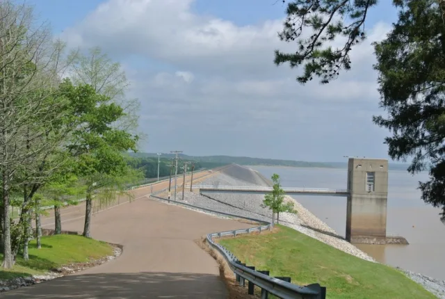
Grenada Lake
Grenada Lake is a vast, man-made reservoir centrally located in the North Central Hills region of Mississippi, approximately five miles east of the city of Grenada. Geographically, it is one of the largest bodies of water in the state, created by the U.S. Army Corps of Engineers for flood control on the Yalobusha River. The lake and its surrounding lands encompass over 35,000 acres of water and more than 60,000 acres of managed shoreline, creating a highly diverse landscape.
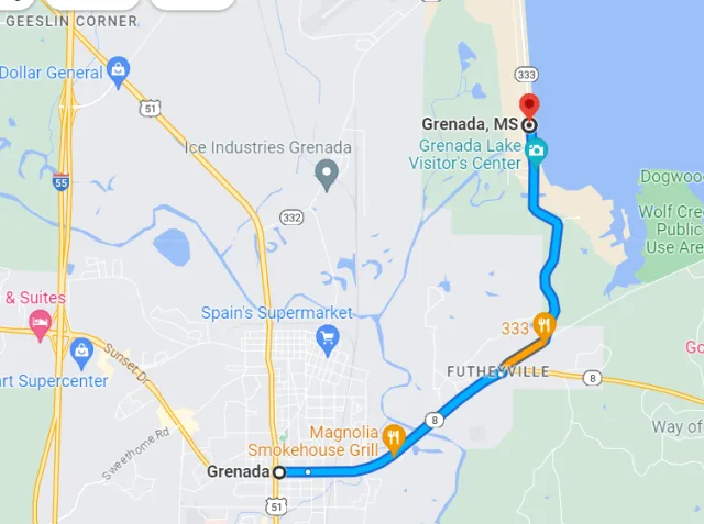
The terrain around the lake is characterized by rolling hills, forested uplands dominated by pine and mixed hardwoods, and extensive bottomland hardwoods and managed wetlands in the floodplains, particularly within the Grenada Lake Wildlife Management Area (WMA). This confluence of water, woodland, and marsh habitats makes the area a significant ecological and recreational resource, easily accessible via major state and federal highways like I-55.
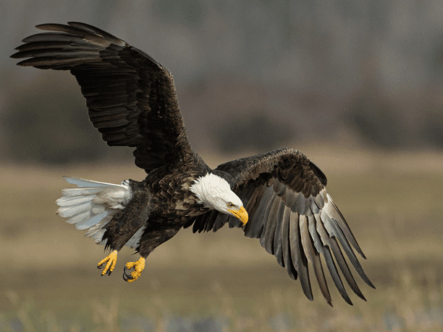
The diverse geography of Grenada Lake provides exceptional bird-watching opportunities, positioning it as a key site on the Mississippi Flyway. The lake's open waters and mudflats are crucial staging and wintering areas for thousands of waterfowl , including various species of ducks (such as Gadwall and Pintail) and Snow Geese. The extensive shallow waters are also magnets for shorebirds during migration, with species like sandpipers and plovers often observed. The surrounding forests and wooded edges are excellent for spotting neotropical migrants in spring and fall, including numerous species of warblers, vireos, and tanagers. Furthermore, the combination of large timber and open water supports significant populations of raptors , with regular sightings of Osprey and Bald Eagles (which often nest in the area), making Grenada Lake a dynamic and rewarding birding destination year-round.
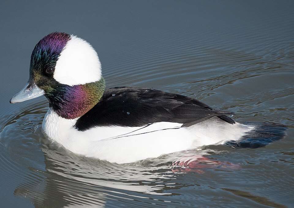
Target Birds
Yellow-bellied Sapsucker
Rusty Blackbird
Redhead
Bufflehead
Slavonian Grebe
Ruddy Duck
While the lake itself is known for its fishing, the area around it has numerous recreational activities including re-enactments of Civil War battles. The military website has more information.
Panther Swamp NWR
Panther Swamp National Wildlife Refuge (NWR) is a critical conservation area located in the heart of the Mississippi Delta, specifically within Yazoo, Humphreys, and Sharkey Counties in west-central Mississippi. Geographically, it is part of the vast Lower Mississippi River Floodplain, a region defined by its flat topography and rich, alluvial soils deposited over millennia by the Mississippi River. The NWR's landscape is dominated by nearly 40,000 acres of forested wetland (bottomland hardwood forest), interspersed with bayous, sloughs, and cypress-tupelo swamps, all heavily influenced by the seasonal flood cycles of the nearby Yazoo River.
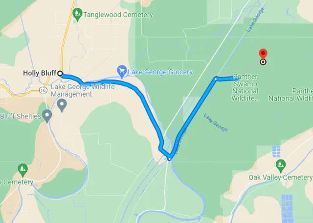
This geography makes the swamp an essential component of the remaining large tracts of Delta forest, acting as a natural sponge and providing diverse aquatic and terrestrial habitats crucial for wildlife. The refuge is named for the swampy environment it protects and the historical presence of Florida Panthers, though the latter are now locally extinct.
The diverse geography of Panther Swamp NWR translates into exceptional year-round bird-watching opportunities, especially for species reliant on bottomland forests. The refuge is a critical staging and wintering area on the Mississippi Flyway, attracting millions of waterfowl , including Mallards, Gadwall, and Wood Ducks, which utilize the managed moist soil units and flooded timber.

For neotropical migratory songbirds , the extensive forest provides essential breeding habitat in spring and a vital stopover in fall, making it an excellent spot for viewing colorful warblers (such as the Prothonotary and Swainson's Warbler), vireos, and tanagers. The mature hardwoods support healthy populations of raptors , including the Barred Owl and various hawk species. Visitors often access the interior via limited gravel roads and hiking trails, offering prime chances to spot interior forest species and wading birds like Great Blue Herons and Great Egrets along the swamp's sluggish waterways.
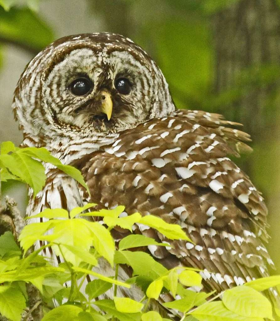
Target Birds
Barred Owl
Northern Harrier
Loggerhead Shrike
Mississippi Kite
Black-bellied Whistling Duck
Neotropic Cormorant
The USFWS website is primarily geared to hunting for this area but it still has bird watching information.
Grand Bay NWR
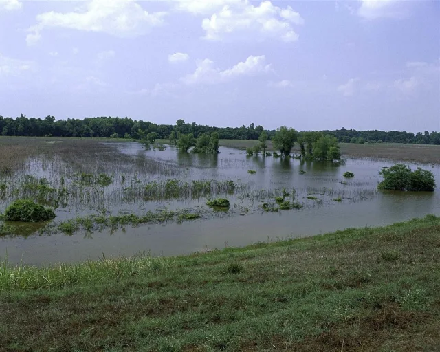
Grand Bay NWR is strategically located on the Mississippi Gulf Coast, near the border with Alabama, in Jackson County. Its geography is dominated by the Grand Bay Savanna, a vast coastal wet pine savanna ecosystem considered one of the most ecologically significant regions in the state.
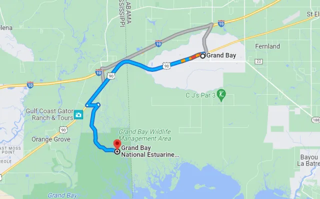
The refuge encompasses over 18,000 acres of diverse coastal habitats, including extensive tidal marshes, shallow bays, maritime forests, scrub-shrub swamps, and the unique, globally rare savanna itself, which is characterized by acidic, nutrient-poor soils and frequent natural fires. The refuge's location at the terminus of the Pascagoula River watershed means it is directly influenced by freshwater and saltwater mixing, creating rich estuarine environments that are essential for wildlife. This coastal setting places the refuge squarely in the path of the Mississippi Flyway, making its marshes and forests critical stopover and wintering areas for migratory birds.
The diverse habitats within Grand Bay NWR translate into exceptional and varied bird-watching opportunities year-round. The coastal marshes and shallow bays are prime locations for observing shorebirds, wading birds, and waterfowl, including significant numbers of wintering species like Gadwall and Redhead ducks, as well as resident Clapper Rails and Sanderlings.

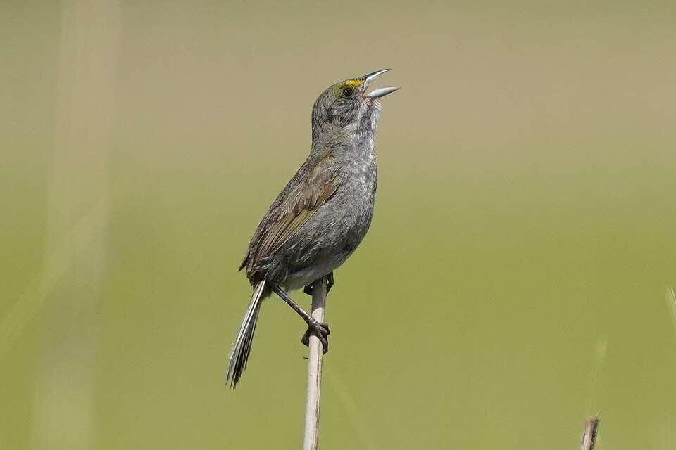
The maritime forests and scrub areas are essential during migration, providing cover and food for numerous Neotropical songbirds (warblers, vireos, and tanagers) as they make landfall after crossing the Gulf of Mexico in the spring. Perhaps the most unique opportunities arise from the expansive wet pine savanna, which is home to specialized species such as the federally endangered Red-cockaded Woodpecker and the secretive Henslow's Sparrow during the winter months. Birders can also spot several species of raptors, including Northern Harriers skimming over the marsh, and find nesting Seaside Sparrows and Painted Buntings throughout the varied coastal landscape.
Target Birds
Northern Bobwhite
Common Nighthawk
Stilt Sandpiper
Belted Kingfisher
Brown-headed Nuthatch
Clapper Rail
The USFWS website page has more information.
Horn Island
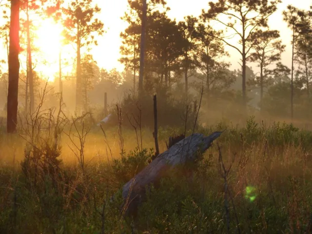
Horn Island is one of the most stunning and ecologically vital of the barrier islands off the coast of Mississippi, situated roughly 12 miles south of Ocean Springs. Part of the Gulf Islands National Seashore, its geography is characterized by a dynamic, elongated shape—it's approximately 14 miles long and less than a mile wide.
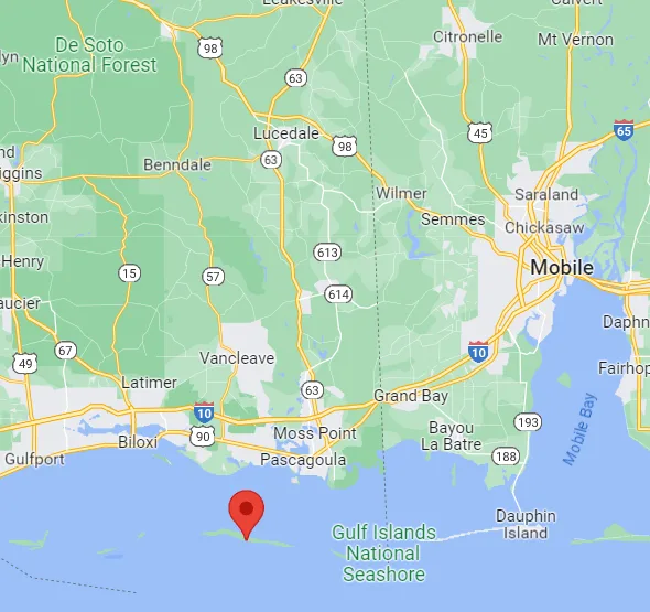
The island's structure is a classic barrier island system, featuring broad, sandy beaches on its Gulf-facing side, backed by rolling dunes stabilized by sea oats. Inland, the island transitions into unique habitats like maritime forest, freshwater ponds (often ephemeral), and dense thickets of pine and scrub oak, with the northern side featuring salt marsh and mudflats facing the relatively protected Mississippi Sound. The island remains undeveloped and accessible only by boat, preserving its pristine, natural state and ecological integrity.
The lack of development makes Horn Island an exceptional, rugged destination for birdwatching. Due to its position directly in the Gulf of Mexico, it serves as a critical stopover site for trans-Gulf migrants traveling along the Central and Mississippi Flyways, particularly during the intense spring and fall migrations. Exhausted songbirds, including a wide array of warblers, vireos, and tanagers, often make their first landfall in the island's maritime forests, creating spectacular "fallouts" after crossing the open water.
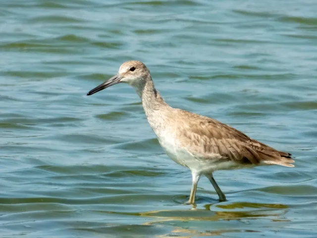
Year-round opportunities include observing numerous shorebirds like Willets and sandpipers feeding along the beaches and mudflats, as well as a variety of wading birds (herons, egrets, spoonbills) in the marshes. Raptors like Osprey and Bald Eagles are common sights, and the surrounding waters host several species of pelagic birds and terns, making Horn Island a complete coastal birding experience for those willing to brave the journey.
Target Birds
Gray, Wilson's, Piping and Snowy Plover
Sanderling
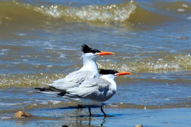
Least, Sandwich, Gull-billed, Black, Common, Royal Tern
Black Skimmer
Cape May and Blackpoll Warbler
The National Park Service advises visitors about sailing and staying on the island.
Ansley Preserve
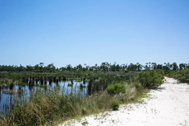
The Ansley Preserve is a critical coastal birding location situated in Hancock County, Mississippi, along the western end of the state's Gulf Coast. Geographically, the preserve spans a transitional zone, protecting approximately 3,000 acres of diverse coastal habitat.
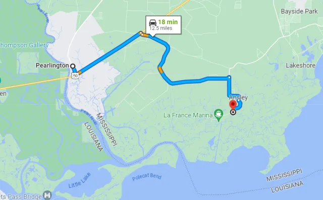
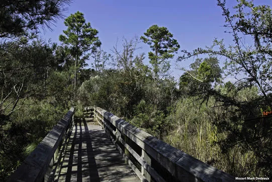
It is characterized by a mix of maritime pine forests, coastal scrub/shrub habitats, salt marshes, freshwater wetlands, and pine flatwoods. Its location is particularly significant as it borders the Gainesville shoreline and lies within the influence of the Pearl River, benefiting from the nutrient-rich sediments and varied terrain found where river systems meet the Gulf of Mexico. This unique geography, situated between major bodies of water and varied land covers, creates a highly valuable ecological corridor and serves as a major funnel point for migrating birds.
For birdwatchers, Ansley Preserve offers exceptional opportunities, especially during the spring and fall migrations when it acts as a vital stopover site for Neotropical migrants crossing the Gulf. Birders frequently encounter numerous species of warblers, vireos, and tanagers resting and refueling in the coastal scrub and maritime forests.
Resident species include various wading birds (like herons and egrets) and shorebirds in the marsh areas, as well as several species of raptors and passerines throughout the year. The preserve is managed to maintain its natural state, providing excellent, relatively undisturbed habitat that increases the likelihood of spotting less common migrants and specialized coastal residents, making it a crucial site for anyone seeking to experience the full breadth of the Mississippi Flyway.
Target Birds
White-winged Dove
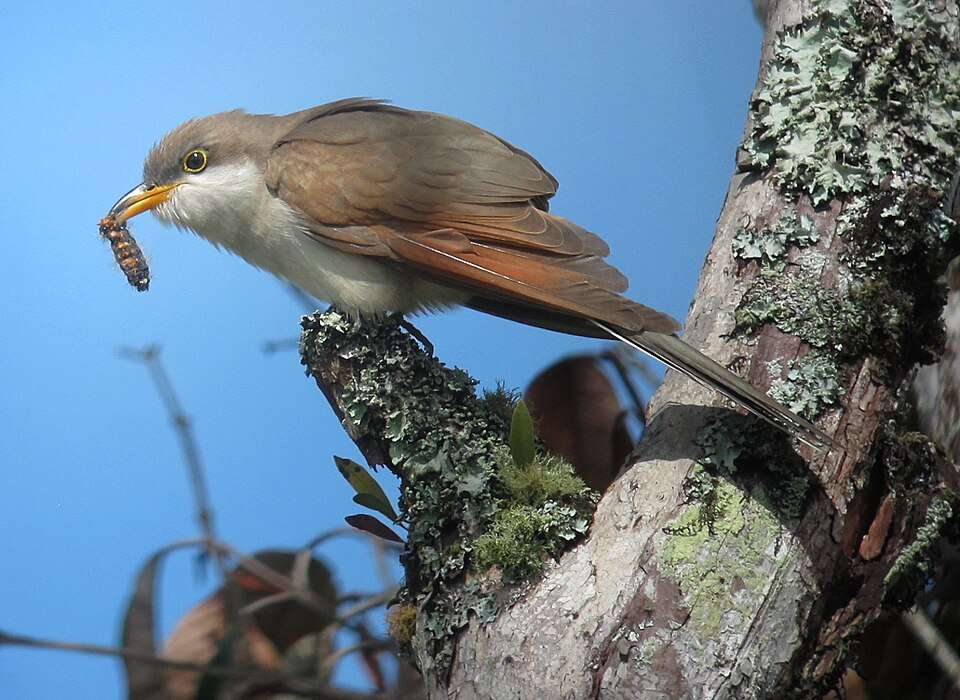
Yellow-billed Cuckoo
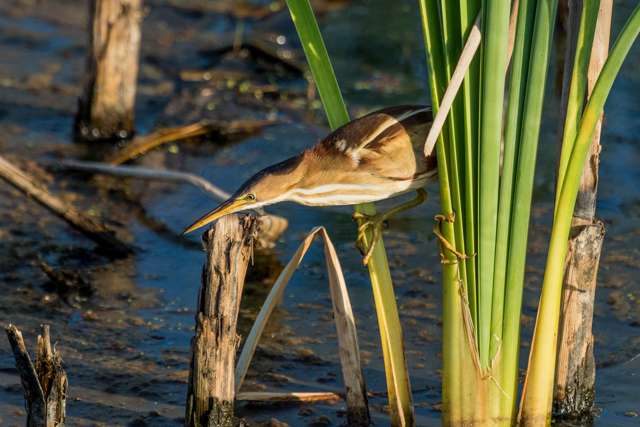
Least Bittern
American Redstart
Painted Bunting
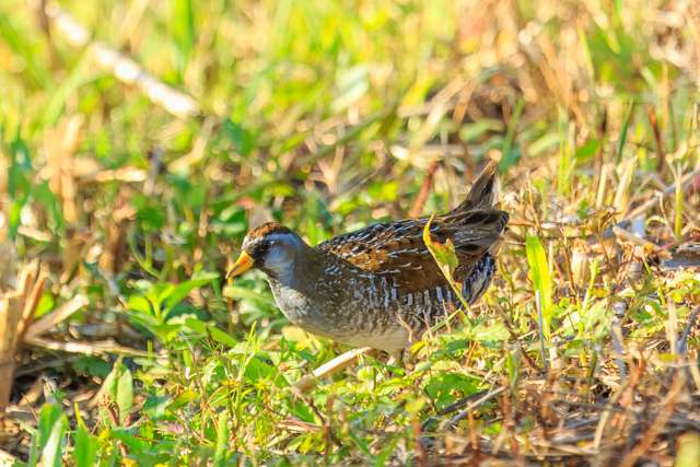
- Sora
The Ansley area is part of the Mississippi Coastal Birding Trail.
Bellefontaine Beach
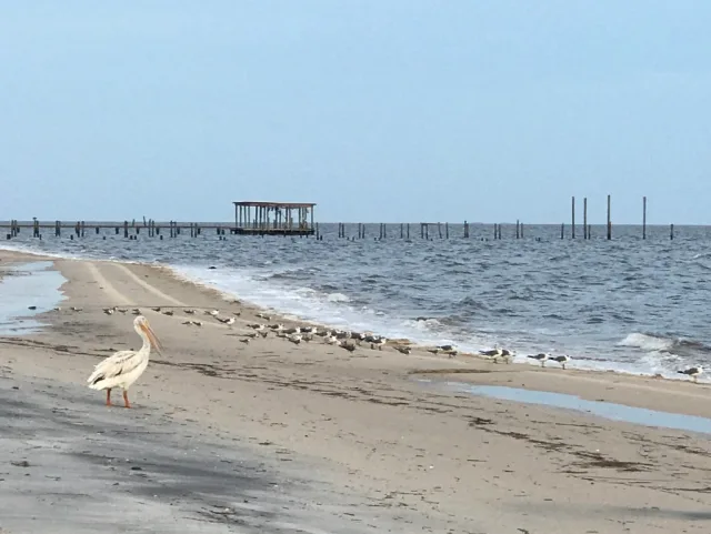
Bellefontaine Beach is a prime coastal birding location situated in the southeastern corner of Mississippi, within Jackson County. Geographically, it forms part of the state's narrow but ecologically diverse Gulf Coast region, specifically along the shores of the Mississippi Sound. This area is characterized by a low elevation, sandy beaches, and dynamic coastal habitats.
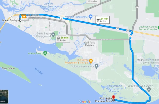
To the north lies the mainland, transitioning into pine flatwoods and coastal savannas, while immediately offshore are the barrier islands (like Petit Bois and Horn Islands) that protect the mainland coast. This position makes Bellefontaine Beach a critical part of the East Gulf Coastal Plain. Its accessible public beach area and adjacent wetlands create a transitional zone, attracting both marine and terrestrial species.
This convergence of coastal habitats—open water, sandy shore, and bordering shrubbery—provides excellent bird-watching opportunities, particularly during migration. The beach itself is vital for shorebirds like Sanderlings, Ruddy Turnstones, and various species of plovers and sandpipers that feed along the tide line. The open water and nearby tidal flats attract wading birds such as Great Blue Herons and Great Egrets, as well as numerous gulls and terns.
Crucially, as the first strip of mainland habitat visible after crossing the open water of the Mississippi Sound, Bellefontaine Beach is a key fallout location for Neotropical migrants (warblers, vireos, and tanagers) arriving from or departing across the Gulf of Mexico, making the spring and fall migrations particularly rewarding for observers.
Target Birds
Sandhill Crane
Sedge Wren
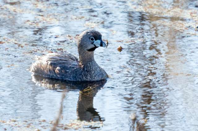
Pied-billed Grebe
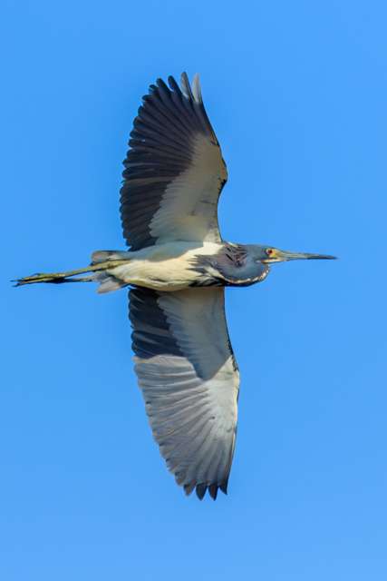
Tricolored Heron
Cedar Waxwing
The local community website has general information for visitors to the area.
Oktibbeha County Lake
Oktibbeha County Lake, nestled in the scenic hills of Oktibbeha County, Mississippi, lies just southwest of the city of Starkville and the main campus of Mississippi State University. Geographically, this man-made reservoir sits within the Black Prairie Belt, a unique ecological region characterized by fertile, alkaline soils that transition into the less fertile North Central Hills region.
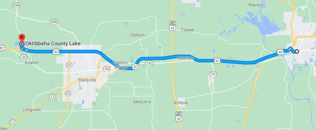
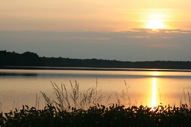
The lake is surrounded by a diverse mix of habitats, primarily mixed pine-hardwood forests on the slopes and banks, interspersed with areas of open grassland and managed recreational spaces. The immediate shoreline and the quiet coves offer shallow water environments, while the deeper open water attracts a different suite of species. Its location makes it easily accessible, serving as a significant freshwater feature in an otherwise agricultural and timber-producing landscape.
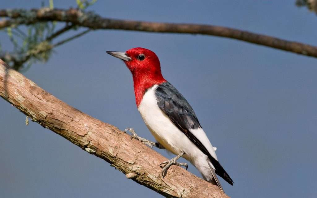
The bird watching opportunities at Oktibbeha County Lake are excellent, particularly for waterfowl, wading birds, and migratory songbirds. During the winter months, the lake hosts a variety of ducks, including Northern Shovelers, Gadwall, and American Wigeon, along with occasional sightings of loons and grebes on the open water. The surrounding woodlands and brushy edges provide excellent cover for resident species like Red-headed Woodpeckers and various sparrows, as well as a critical stopover for Neotropical migrants traveling the Mississippi Flyway.
Birders frequently spot numerous species of warblers, vireos, and tanagers during the spring and fall migration periods. The lake's managed public access areas, including fishing piers and nature trails, offer various vantage points to observe both the aquatic and terrestrial birdlife, making it a reliable destination for year-round birding in East Central Mississippi.
Target Birds
Prairie, Kentucky and Swainson's Warbler
Least and Solitary Sandpiper
Double-crested Cormorant
Summer Tanager
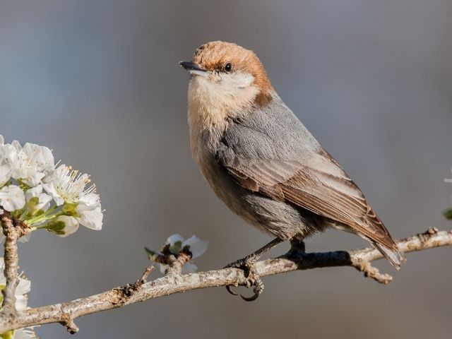
Brown-headed Nuthatch
- Summer Tanager
The State of Mississippi Parks has details about the wider area as part of the Noxubee NWR.
Yazoo NWR
Yazoo National Wildlife Refuge (NWR) is a crucial, expansive sanctuary nestled deep in the Mississippi Delta region of the state, approximately 35 miles south of Greenville. Its geography is defined by the flat, fertile alluvial floodplain of the Mississippi River, an area historically dominated by vast cypress-tupelo swamps and bottomland hardwood forests.
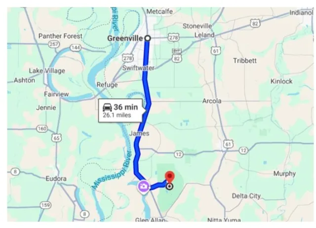
While much of the surrounding Delta land has been converted to agriculture, the refuge preserves over 12,000 acres of this essential habitat, featuring extensive managed moist-soil units, natural oxbow lakes, and impoundments alongside patches of restored timber. This mix of open water and dense forest makes it a dynamic ecological hub. The NWR's location is strategically vital because it lies directly within the heart of the Mississippi Flyway, one of North America's four major migratory routes, serving as a critical stopover and wintering ground.
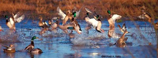
This geographical placement creates outstanding bird-watching opportunities, particularly during fall and winter. Yazoo NWR is famed for hosting massive concentrations of waterfowl, with hundreds of thousands of ducks (including Mallards, Northern Pintails, and Gadwalls) and geese utilizing the shallow water impoundments for feeding and resting.
The mature bottomland forests are excellent for spotting migratory songbirds during spring and fall, including various warblers and vireos. Raptors are also prominent, with healthy populations of Bald Eagles nesting and foraging on the refuge. The accessible wildlife drives and observation decks allow visitors to witness these spectacular concentrations of avian life without disturbing the critical habitats, making Yazoo NWR a must-visit destination for serious birders.
Target Birds
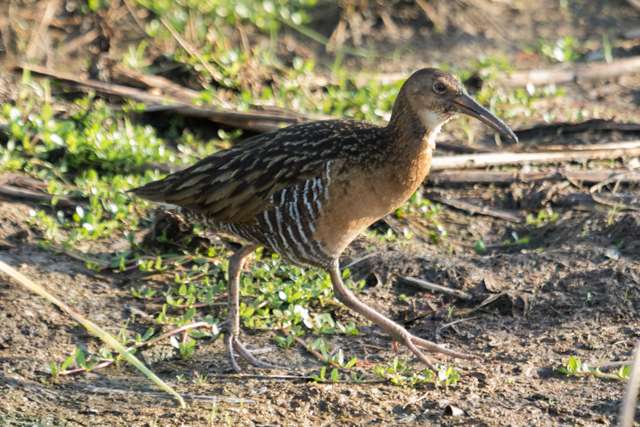
King Rail
Anhinga
Barred Owl
Broad-winged Hawk
LeConte's Sparrow
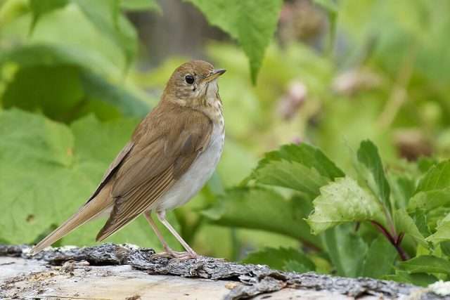
- Veery
The USFWS page about Yazoo has lots of information to help plan a visit.
Buccaneer SP
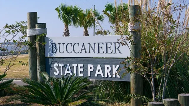
Buccaneer State Park (SP) is situated on the Gulf Coast of Mississippi, specifically in the town of Waveland in Hancock County, immediately east of the Louisiana border. Its location is defined by its proximity to the Gulf of Mexico, bordered by the Bayou Caddy to the west and the open coastline to the south. The park's geography is characterized by its coastal lowland habitat, featuring a mosaic of environments critical for avian life.
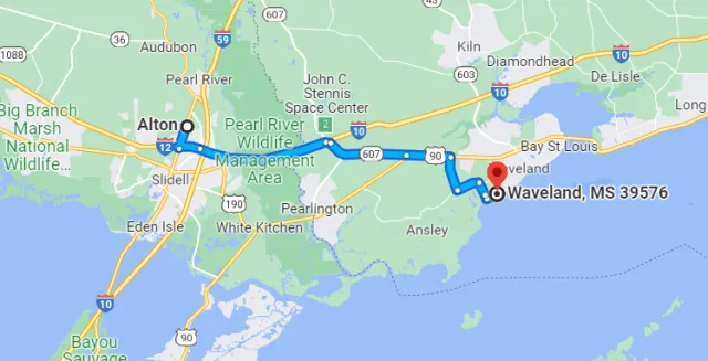
These include maritime forests dominated by live oaks and pines, sandy beaches and dunes, and coastal wetlands fed by tidal influences. This unique blend places Buccaneer SP in a prime location to intercept birds moving along the Gulf, acting as a crucial "landfall" site for birds completing their trans-Gulf migration in the spring, and a staging area in the fall. The slightly elevated ridges of the maritime forest provide essential shelter and food sources for exhausted migrants.
The diverse coastal geography translates directly into excellent bird watching opportunities, particularly during the spring and fall migratory periods. During spring migration (typically late March through May), Buccaneer is one of the first patches of suitable habitat seen by millions of Neotropical migrants crossing the Gulf of Mexico. Birders frequently experience "fallouts" where exhausted warblers (like Prothonotary and Hooded), vireos, and tanagers land in large numbers to rest and feed.
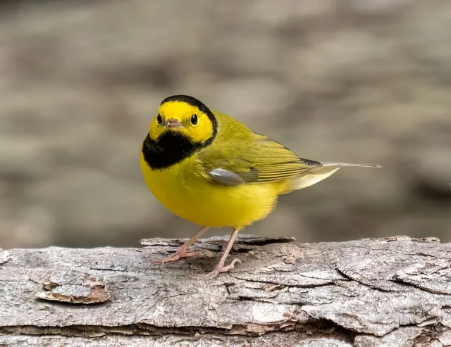
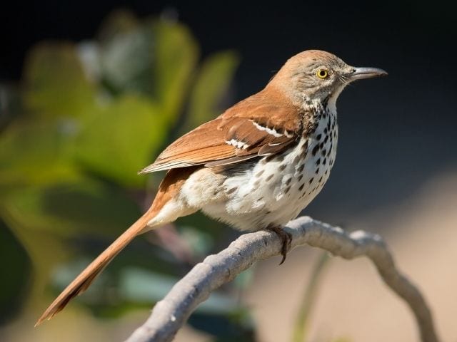
Year-round, the park's beaches and mudflats attract various shorebirds and wading birds such as Great Egrets, Willets, and assorted sandpipers. The wooded areas are home to resident species like the Brown Thrasher and Carolina Wren. Although smaller than some other coastal preserves, the accessibility and varied habitat make Buccaneer SP a productive and often exciting spot for observing coastal Mississippi's dynamic avifauna.
Target Birds
Painted Bunting
Brown Thrasher
Dickcissel
Chimney Swift
Swallow-tailed Kite
The Mississippi Department of Wildlife, Fisheries and Parks has information about the amenities and nature trail.
Wrapping Up
Thus, the journey through Mississippi’s finest bird-watching locales reveals the state’s profound importance along the migratory corridor. From the Delta’s rich bottomland woods to the Gulf Coast's dynamic shores, Mississippi offers an avifaunal experience that rewards birders of all levels. While Yazoo NWR and Ansley Preserve provide spectacular gateways, the opportunities stretch far wider. Look inland to the tranquility of Oktibbeha County Lake, near Starkville, where the deep freshwater reservoir and surrounding forests offer exceptional viewing of wintering waterfowl, Wood Ducks, and an impressive array of wading birds, proving the state's interior is just as rewarding as its famed coast.
Conversely, a trip offshore to the pristine, undeveloped barrier island of Horn Island, part of the Gulf Islands National Seashore, provides a rugged, isolated experience where visitors can witness the raw spectacle of coastal migration, view seabirds, and encounter unique island-adapted species, all against a backdrop of sweeping dunes. Ultimately, Mississippi’s diverse ecology ensures that whether you prefer the quiet woods of a lakeside park or the remote wilderness of a barrier island, the Magnolia State is guaranteed to deliver unforgettable feathered encounters, solidifying its status as a secret gem on the global birding map.
