

Louisiana offers one of North America's most unique and rewarding experiences for birdwatchers. Positioned at the confluence of the vast Mississippi Flyway and the warm waters of the Gulf of Mexico, the state serves as an essential pit stop, winter haven, and year-round residence for hundreds of avian species. From the dense cypress swamps and towering hardwood forests in the north to the sprawling coastal marshes, barrier islands, and cheniers of the south, Louisiana's diverse wetlands and ecosystems create an unparalleled ecological mosaic.
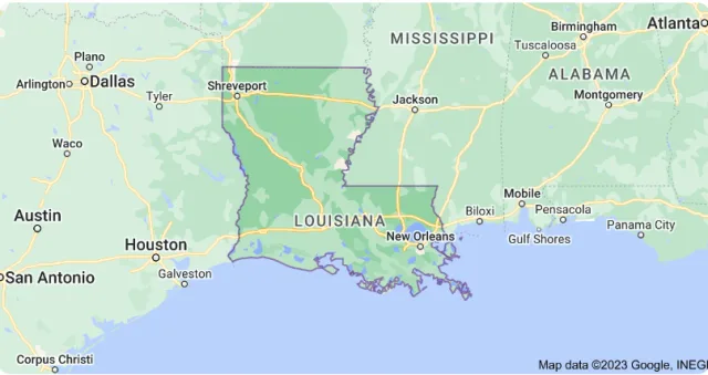
This geographical advantage makes it a spectacular destination, particularly during the intense spring and fall migration periods when millions of birds—including warblers, vireos, and tanagers—make landfall after exhausting trans-Gulf flights. Whether you're seeking the secretive Prothonotary Warbler in a bayou, the dramatic sight of countless shorebirds on the coast, or the majestic Roseate Spoonbill in the marsh, Louisiana is truly an avian wonderland waiting to be explored.
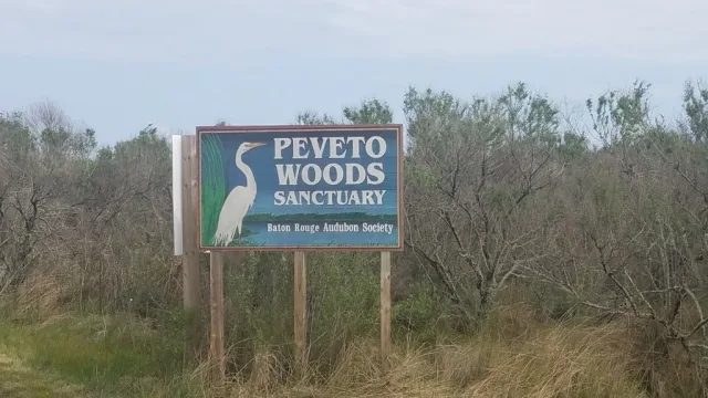
Peveto Woods
Peveto Woods Sanctuary, located on the western coast of Louisiana near the town of Creole, is a tiny, crucial piece of geography known as a chenier (from the French word chêne for oak). This term describes an ancient beach ridge composed of sand, shell, and clay, which is forested, typically with live oaks.
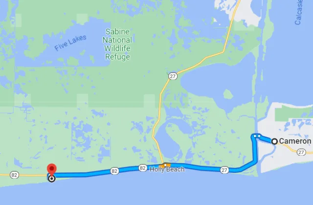
The Sanctuary is a rare, elevated woodland surrounded by the vast, flat coastal marshes and prairies of the Gulf of Mexico. Its strategic location makes it one of the most important and well-known migrant traps along the entire coast. During spring migration, birds making the exhausting non-stop flight across the Gulf desperately seek the first patch of dry, safe habitat upon reaching land. Peveto Woods provides this vital shelter, drawing in large concentrations of exhausted passerines.
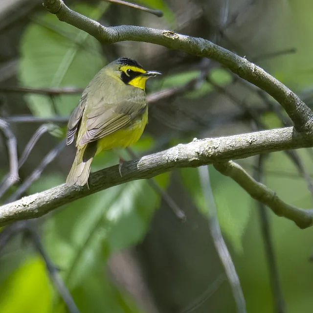
The bird watching opportunities at Peveto Woods are world-class, particularly from late March through early May during the spring "fallout" events. Under favorable conditions—where strong north winds push migrants out over the Gulf, and subsequent severe weather or opposing winds force them to land immediately—the woods can be teeming with species. Visitors can expect to see dozens of colorful species, including multiple types of warblers (such as Black-throated Green, Yellow-rumped, and Kentucky), vireos, tanagers, and grosbeaks at eye-level as they rest and forage. While the area is quiet outside of migration, the spectacular concentration of birds during these short windows makes Peveto Woods an essential pilgrimage site for any serious North American birder.
Target Birds
Common Nighthawk
Tennessee, Canada and Chestnut-sided Warbler
Brown Pelican
Swainson's Hawk
White-eyed, Yellow-throated, Philadelphia and Warbling Vireo
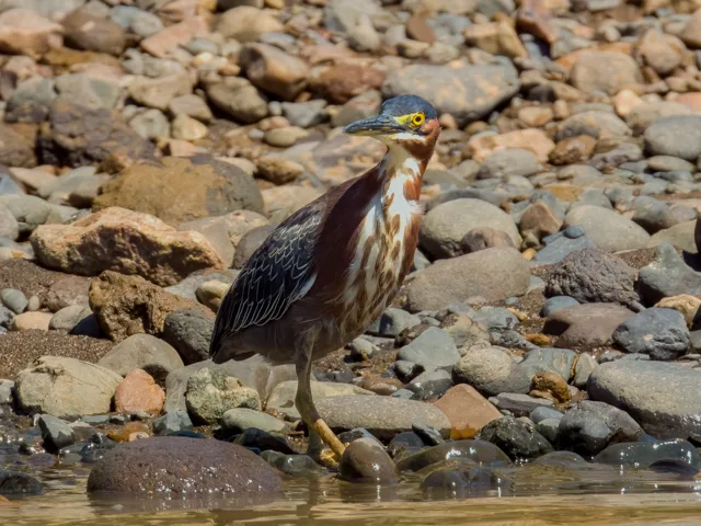
Green Heron
The Baton Rouge Audubon Chapter has a page for Peveto Woods.
Grand Isle
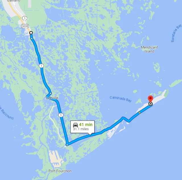
Grand Isle is a unique barrier island situated at the very end of the Louisiana Highway 1, stretching seven miles along the Gulf of Mexico coast. Geographically, it forms the westernmost end of a chain of barrier islands and is distinguished by its narrow shape and proximity to both the open Gulf waters and the rich tidal ecosystems of Barataria Bay.
This location makes it a critical ecological node, as it is the last significant piece of solid ground for millions of migrating birds crossing the Gulf of Mexico during spring and fall. The island's habitats are characterized by sandy beaches, salt marshes, and, most importantly for birding, small patches of forested habitats known as cheniers (ridges of oak trees growing on old shell middens). These dense, elevated tree lines serve as vital, life-saving stopover points—or "landfall sites"—where exhausted migrants can rest and refuel.
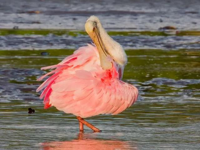
The birdwatching opportunities at Grand Isle are centered on the phenomenon of "fallouts," which occur primarily during the spring migration (late March through May). A fallout happens when bad weather—typically cold fronts or severe thunderstorms over the Gulf—forces trans-Gulf migrants like warblers, orioles, tanagers, and grosbeaks to make an emergency landing as soon as they reach the Louisiana coast. During these events, the chenier woods become alive with dazzling concentrations of birds, often at eye level, offering unparalleled viewing and photography. Key birding areas include Grand Isle State Park and the numerous private bird sanctuaries scattered across the island. Beyond the migratory spectacle, the coastal areas reliably host wading birds such as Roseate Spoonbills and Great Egrets, as well as various shorebirds and gulls, making Grand Isle a rewarding birding location year-round.
Target Birds
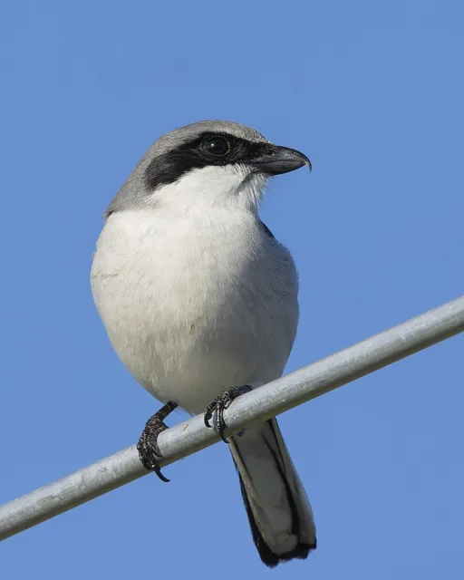
Loggerhead Shrike
Dickcissel
Black-bellied Whistling Duck
Bronzed Cowbird
Mottled Duck
White-winged Dove
The town or Grand Isle website has information for bird watchers.
Bayou Sauvage NWR
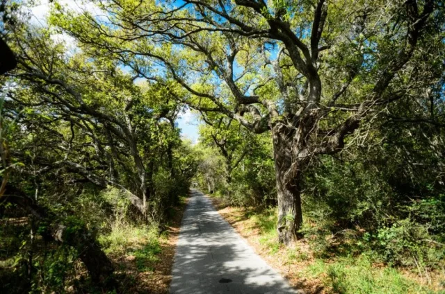
The Bayou Sauvage National Wildlife Refuge (NWR) is a truly remarkable urban refuge, located entirely within the city limits of New Orleans, Louisiana. Established in 1990, it is one of the largest urban refuges in the United States, covering over 24,000 acres. Geographically, the refuge is defined by its diverse wetlands, which include brackish marsh, fresh marsh, cypress-tupelo swamp, and wooded uplands along historical Gulf of Mexico beach ridges (known locally as cheniers).
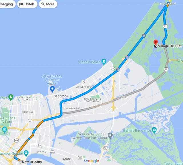
It is bordered by Lake Pontchartrain to the north and the Mississippi River Gulf Outlet (MRGO) to the south, and its existence is vital for protecting the delicate hydrology and ecology of the New Orleans metropolitan area. This crucial location and geography make the refuge a natural protective buffer against storm surge while providing essential habitat near a densely populated region.
Bayou Sauvage NWR's proximity to the Gulf Coast and its position within the vast Mississippi Flyway makes it an exceptional destination for birdwatching. The mixture of fresh and brackish water habitats attracts an enormous variety of birds, especially during the spring and fall migrations. Birders can expect to see numerous species of wading birds (like herons, egrets, and spoonbills), shorebirds, and migratory waterfowl.
The refuge is famous for its concentration of wintering ducks and is an important nesting site for colonial waterbirds. Visitors can access various viewing areas, including the Ridge Trail (which offers glimpses of marsh and swamp species) and the LaBranche Wetlands section, with the prime observation being the sheer volume and diversity of birdlife making use of this protected green space in an otherwise urban landscape.
Target Birds
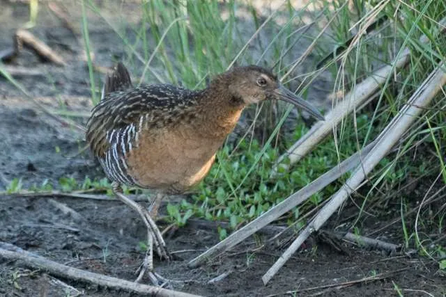
King Rail
Belted Kingfisher
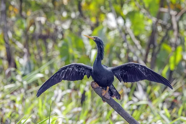
Anhinga
Royal Tern
Northern Harrier
The U.S. Fish and Wildlife Service has information about conservation and recreational opportunities in the area.
Bonnet Carré Spillway
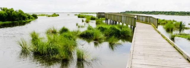
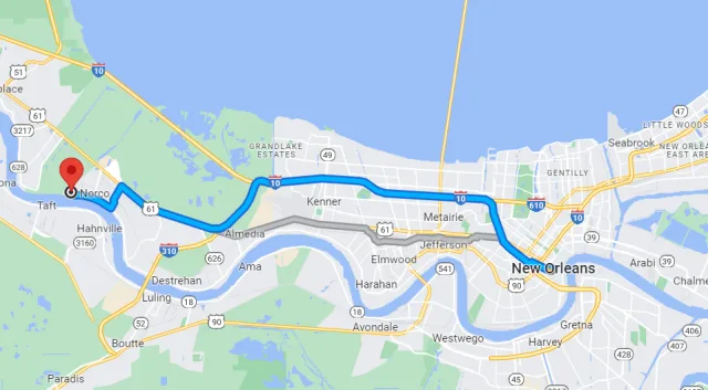
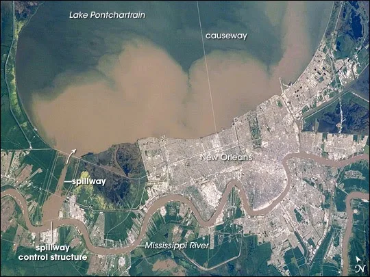
The Bonnet Carré Spillway is a massive flood control structure located in St. Charles Parish, Louisiana, on the east bank of the Mississippi River, approximately 12 miles west of New Orleans. Geographically, this location is unique: it acts as a connection between the Mississippi River and Lake Pontchartrain. The spillway's primary function is to divert floodwater from the river into the lake to protect New Orleans and surrounding areas.
This results in a vast area of controlled, open land—over 7,600 acres—that contains various habitats, including open water, mudflats, shrubby fields, and patches of forest. The controlled environment means that the water levels and resultant habitats change seasonally and during flood events, creating dynamic and unpredictable, yet highly productive, feeding grounds for birds. The site is easily accessible and features gravel roads and open areas, making it a popular spot for both casual visitors and dedicated naturalists.
The diverse and frequently shifting landscape of the spillway offers excellent birdwatching opportunities, making it a key site along the Mississippi Flyway. The extensive open mudflats and shallow waters, especially when the spillway is closed and water levels drop, attract large numbers of shorebirds such as sandpipers, plovers, and terns, and various wading birds like herons and egrets. The open fields and shrubland are crucial for sparrows, raptors, and grassland species. During spring and fall migration, the spillway acts as a vital stopover point, where the scattered wooded areas can be productive for spotting migratory songbirds including warblers and vireos. The spillway's location near a major metropolitan area and its consistently high bird diversity make it a highly reliable and important birding location in southeastern Louisiana.
Target Birds
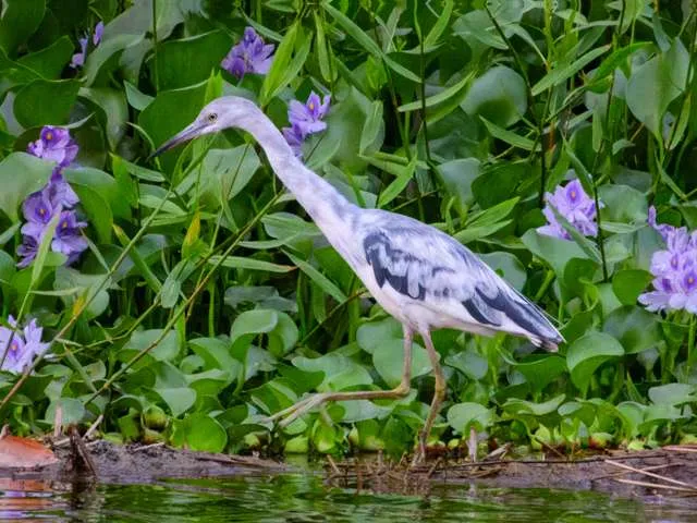
Little Blue Heron
White-faced Ibis
Yellow-billed Cuckoo
Greater Yellowlegs
Neotropic Cormorant
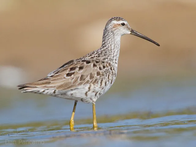
Stilt and Least Sandpiper
The military has a website with information for visitors.
Cameron Prairie NWR
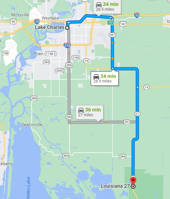
Located in the southwestern corner of Louisiana, Cameron Prairie National Wildlife Refuge (NWR) is a crucial component of the massive 169,000-acre refuge complex known as the Southwest Louisiana National Wildlife Refuge Complex. The refuge sits within the Mississippi Flyway, strategically positioned just inland from the Gulf of Mexico.
Its geography is dominated by a mix of diverse coastal habitats, including fresh and intermediate marsh, low prairie uplands, and agricultural lands. This blend of water and land makes it an exceptional stopping point and wintering ground for migratory species. The marsh, in particular, is managed to provide optimal conditions for the nearly 200 species of birds that frequent the area.
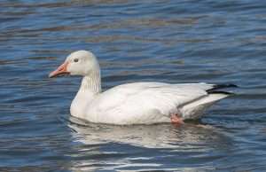
Birdwatching opportunities at Cameron Prairie NWR are outstanding, particularly from October to March, when the refuge hosts hundreds of thousands of wintering waterfowl. Visitors are virtually guaranteed sightings of species like Snow Geese, White-fronted Geese, and various species of ducks. Wading birds, such as Roseate Spoonbills, Great Egrets, and several species of herons, are resident throughout the year.
A major highlight is the Pintail Wildlife Drive, a three-mile self-guided auto tour that offers easy access and excellent photographic opportunities into the heart of the marsh, allowing birders to observe wetland species without leaving their vehicles. During spring and fall migration, the small patches of upland prairie and trees also attract numerous neotropical songbirds, including vibrant warblers and orioles.
Target Birds
Black-bellied and Fulvous Whistling Duck
White-faced Ibis
Yellow-crowned Night Heron
Eastern Meadowlark
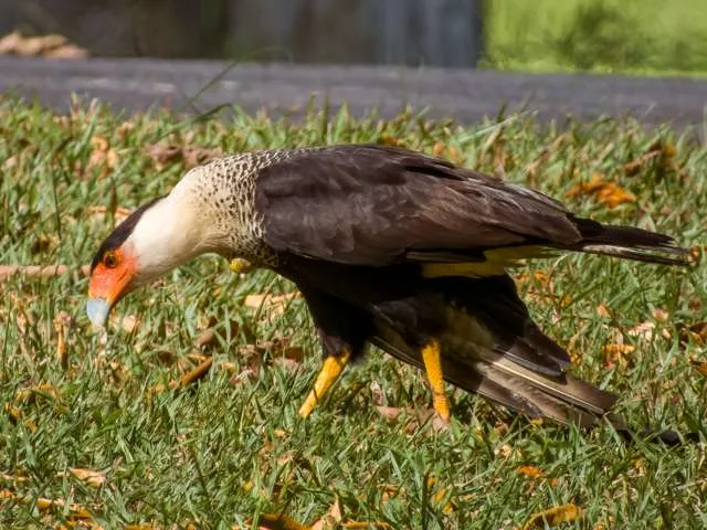
Crested Caracara
- Sora
The USFWS website has a comprehensive introduction to the refuge.
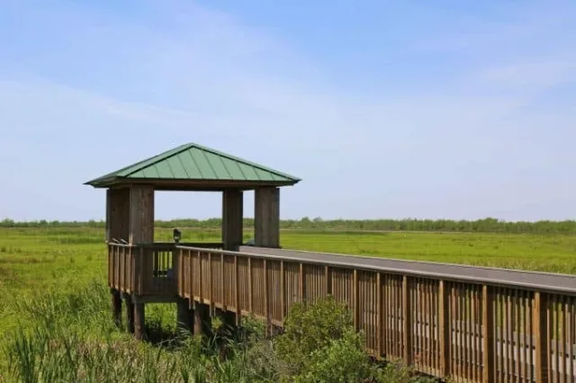
Sabine NWR
The Sabine National Wildlife Refuge (NWR) is a sprawling, vital refuge located in southwestern Louisiana, predominantly within Cameron Parish. It represents a significant portion of the largest coastal marsh complex remaining on the Gulf Coast. Geographically, Sabine NWR is a vast, low-lying expanse of coastal fresh and intermediate marsh, intersected by numerous channels, ponds, and bayous. It's bordered by the Gulf of Mexico to the south and the Sabine Lake estuary to the west.
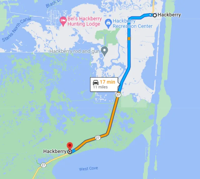
The refuge's topography is defined by its subtle elevation changes and constant interaction with tides, creating expansive mudflats and shallow waters. This crucial location and geography make it an indispensable stopover for birds utilizing the Mississippi Flyway and a major nesting and wintering ground, making it a globally important conservation area.
Bird watching at Sabine NWR is exceptional, offering reliable sightings of both resident species and migratory waterfowl. During the winter, the refuge hosts massive concentrations of ducks, geese, and swans, with Northern Pintails and Lesser Scaup being particularly numerous. Year-round, the open marshes and pools are excellent for viewing wading birds like the Roseate Spoonbill, various herons, and egrets. The refuge is also known for its rail species and a large population of alligators, which are easily spotted along the many public roads and trails. The primary access for birding is the Coon Island Loop and the Blue Goose Trail, which provide boardwalk access and observation decks extending into the marsh, offering unobstructed views of this dynamic and water-rich environment.
Target Birds
- Mottled Duck
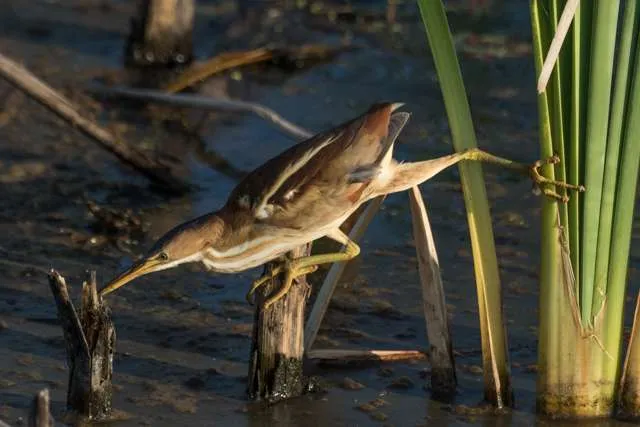
- Least Bittern
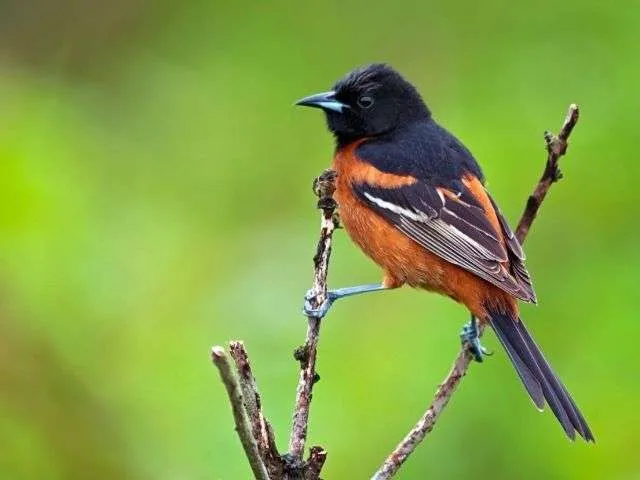
- Orchard Oriole
- Willet
- Hooded Merganser
- Sora
- Orchard Oriole
The USFWS again has lots of useful information for visitors. As this is a large site, it is very convenient.
Venice
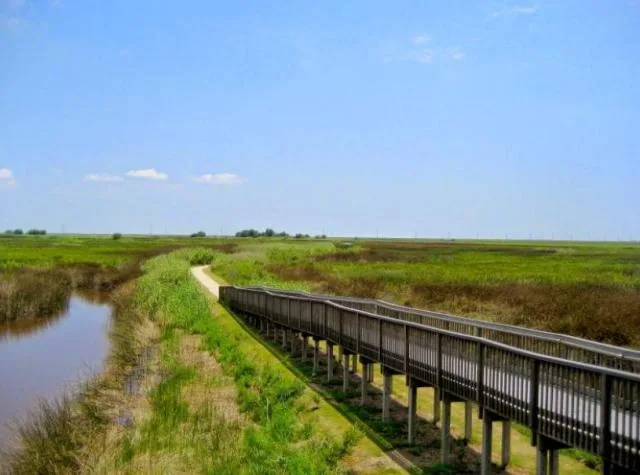
Venice, Louisiana, often called the "Fishing Capital of the World," is a crucial geographical point for birding, situated deep in Plaquemines Parish where the Mississippi River meets the Gulf of Mexico. This location places it right at the throat of the Mississippi Flyway, making it a final landfall point for countless migratory birds making the arduous 500-mile trans-Gulf flight from the Yucatán Peninsula.
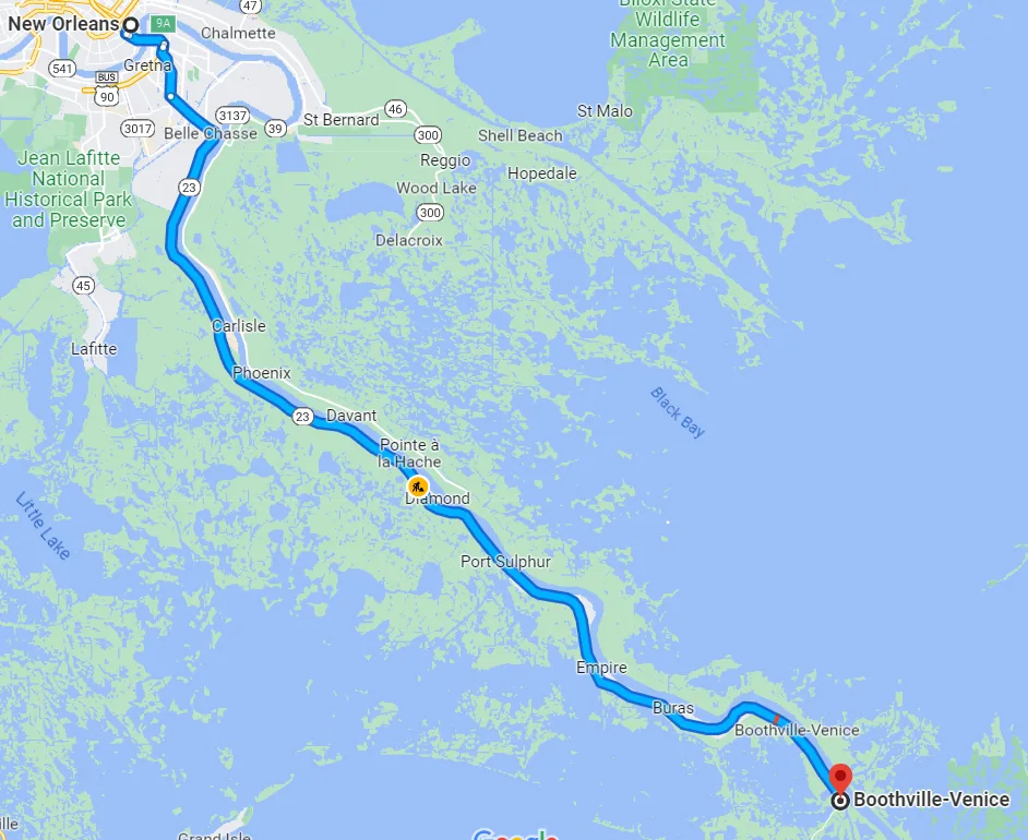
The geography is characterized by a dynamic, nutrient-rich delta environment, featuring expansive coastal marshes, freshwater swamps, and a network of barrier islands, levees, and spoil banks. This complex environment provides varied habitats, from temporary freshwater ponds to brackish estuaries, creating a vital mosaic of feeding and resting spots for exhausted migrants.

The birdwatching opportunities in Venice are extraordinary, especially during the peak spring migration (late March to early May), when weather conditions—particularly strong southerly winds followed by cold fronts—can lead to "fallouts" where thousands of exhausted birds descend upon the first available patch of terrestrial habitat. The man-made structures along the river, known as "The Jump," offer some of the most accessible green spaces in the area, acting as migrant traps for species like brightly colored warblers, vireos, and tanagers. Beyond migrants, Venice's year-round resident and wintering populations are spectacular, offering views of wading birds like Roseate Spoonbills and multiple heron species, along with concentrations of diving ducks, gulls, terns, and various raptors that patrol the vast open waterways and fishing grounds.
Target Birds
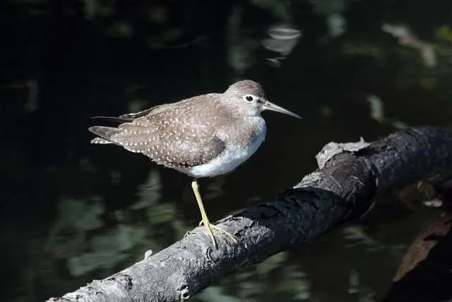
Solitary Sandpiper
Magnificent Frigatebird
Cattle Egret
Lesser Black-backed Gull
American White Pelican
The Audubon Orleans webpage for Venice has a lot of detailed information about the geography of the area and bird watching opportunities, which as you can see is definitely needed before visiting.
Fort Jackson
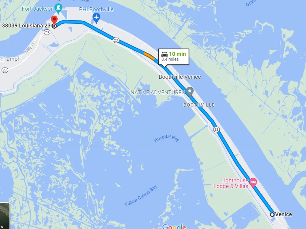
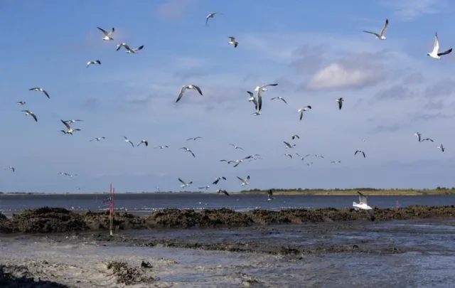
The bird-watching opportunities here are exceptional, especially during the spring and fall migrations. As one of the southernmost points of major dry land along the path of the Mississippi Flyway, Fort Jackson often serves as a primary "first landfall" refuge for migratory songbirds exhausted after their non-stop flight across the Gulf of Mexico. The wooded areas surrounding the fort can become saturated with thousands of brightly colored birds—including various warblers, vireos, orioles, and tanagers—staging to feed and rest. Beyond migration, the adjacent coastal marshes and mudflats attract numerous resident and wintering species like Wading Birds (herons, egrets, ibises), shorebirds, and various waterfowl, making it a productive birding spot nearly year-round.
Target Birds
Chimney Swift
Green Heron
Philadelphia Vireo
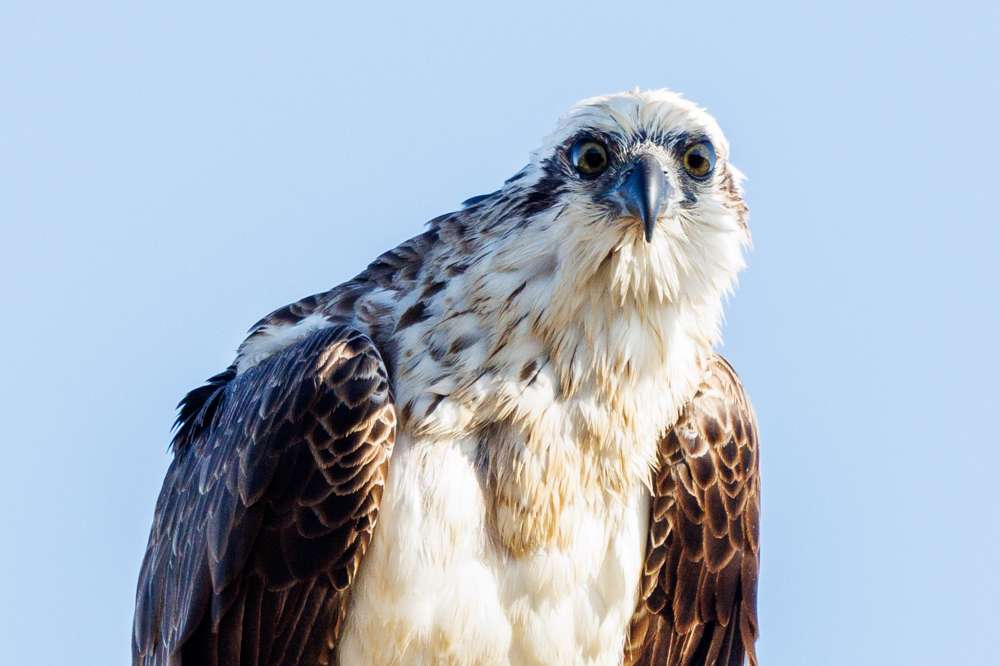
Osprey
Hooded, Magnolia, Black-throated Green and Blackburnian Warblers
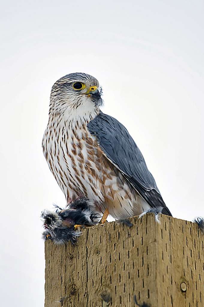
- Merlin
The Plaquemines Parish Tourism website has a lot of information about the area. Most tourism is about the fort itself but they do have bird watching resources as well.
Red River National Wildlife Refuge
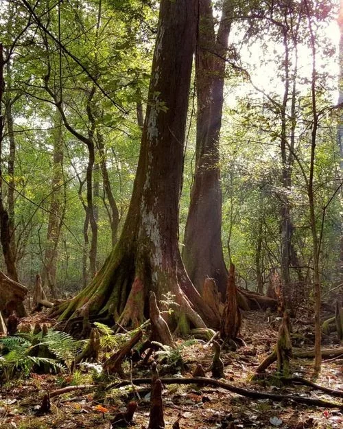
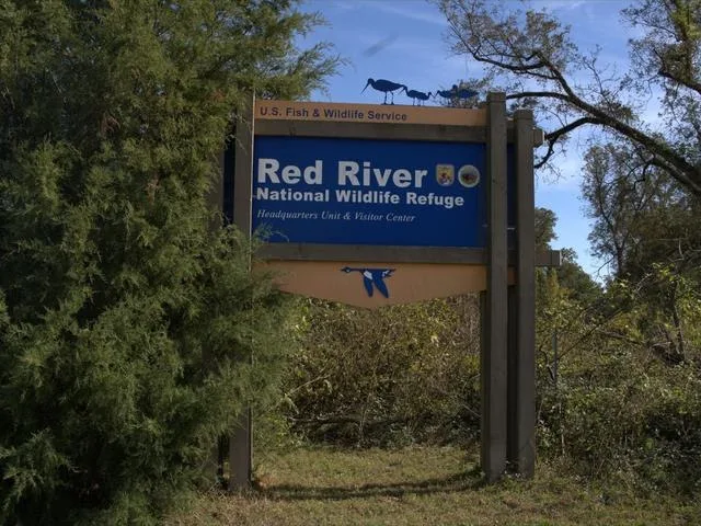
The Red River National Wildlife Refuge (NWR) is strategically situated in the Red River Alluvial Valley of northwest Louisiana, with its primary headquarters and visitor center located near Bossier City. Geographically, the refuge is defined by the historic and modern floodplains of the Red River, a dynamic environment characterized by nutrient-rich silty soils. This low-lying area encompasses a diverse array of wetland and bottomland hardwood forest habitats, including oxbow lakes, sloughs, and cypress-tupelo swamps.
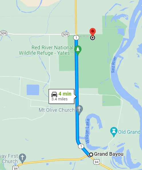
The refuge is spread across multiple units in four parishes (Bossier, Bienville, Caddo, and Red River), protecting vital remnants of the bottomland forest that once covered the entire valley. The topography is generally flat, heavily influenced by seasonal flooding, which maintains the health of the aquatic ecosystems and ensures a continuous supply of resources for wildlife.
This rich geography translates into excellent and varied bird-watching opportunities. Red River NWR is a vital link in the Mississippi Flyway, providing essential stopover and wintering habitat, particularly for waterfowl like Mallards, Gadwall, and various species of diving ducks that utilize the numerous lakes and sloughs.
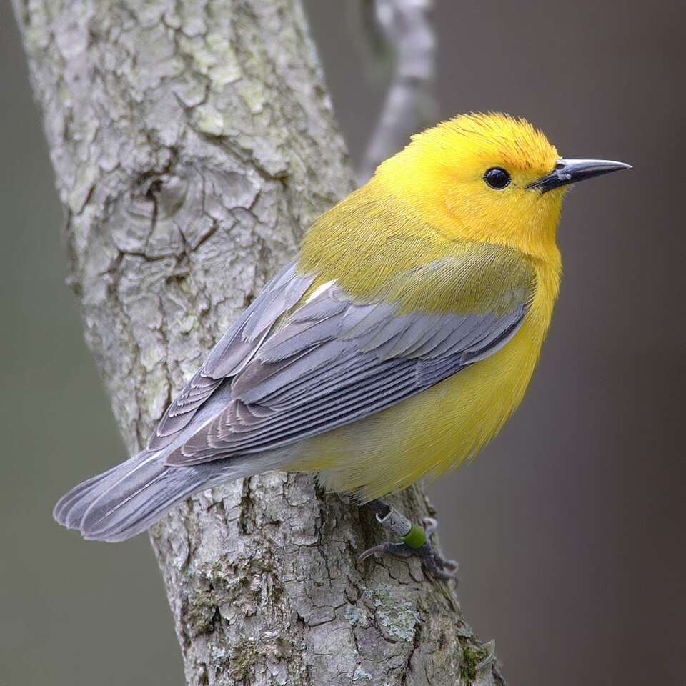
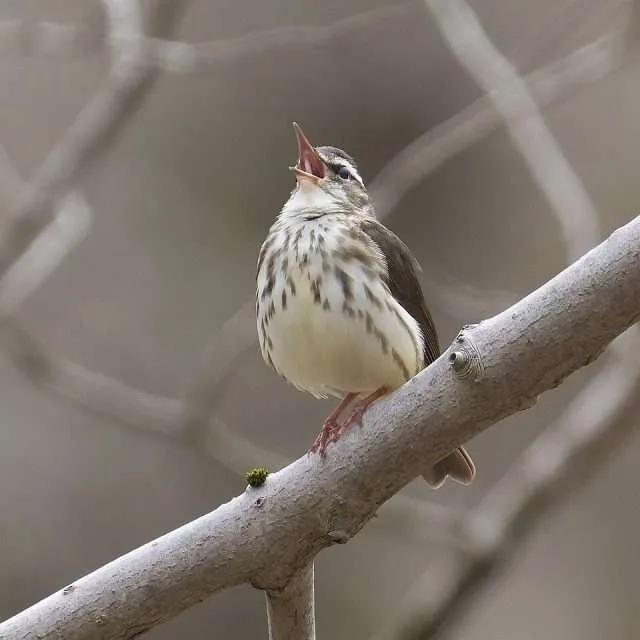
The extensive bottomland hardwood forests are a haven for neotropical migratory birds during both spring and fall, including high concentrations of Prothonotary Warblers, Louisiana Waterthrushes, and several species of vireos and flycatchers. For resident birders, the refuge is also an excellent place to observe various raptors, including nesting Bald Eagles, and a large variety of wading birds and woodpeckers that rely on the mature trees and wetlands.
Target Birds
Least, White-rumped, Pectoral and Semipalmated Sandpiper
Roseate Spoonbill
Eastern Screech-Owl
Northern Waterthrush
- Kentucky Warbler
The USFWS website offers information for visitors and volunteers.
Wrapping Up
In conclusion, Louisiana's geographic good fortune—sitting at the nexus of the Mississippi River Delta and the vital migratory path of the Mississippi Flyway—establishes it as a world-class destination for avian enthusiasts. From the historic refuge of Fort Jackson, where exhausted migrants make their first, thrilling landfall after traversing the Gulf, to the rich bottomland hardwood forests of the Red River National Wildlife Refuge, which shelter vital nesting and wintering populations, the state offers unparalleled ecological diversity.
Whether tracking the iridescent flash of the Prothonotary Warbler in a cypress swamp or witnessing the massive congregations of shorebirds on the cheniers, the opportunities here are dynamic and rewarding. This rich tapestry of swamps, marshes, and forests ensures that Louisiana remains an essential, year-round stop on the global birding map, promising new and spectacular sightings with every change of season.
